Japan is continuing to provide technical assistance to the Philippines in the aftermath of the magnitude 7.8 earthquake that struck Maasim, Sarangani on June 8, through the release of satellite imagery to support damage assessment and recovery efforts, the Japanese Embassy in Manila said Tuesday.
The earthquake left 65 people dead and caused extensive damage to homes, infrastructure, and public facilities across Sarangani and nearby provinces in southern Mindanao.
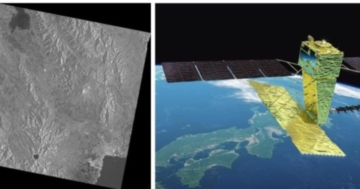
Since June 9, the Japan Aerospace Exploration Agency (JAXA) has been transmitting emergency observation data and satellite images to Philippine authorities to help map the impact of the disaster and guide response operations.
“Japan will continue to work closely with the Philippines to support its early recovery from the damages caused by the earthquake,” the embassy said.
The satellite images were captured using JAXA’s Advanced Land Observing Satellite-2/4 under the international cooperation framework known as Sentinel Asia.
Sentinel Asia, established in 2006 under the Asia-Pacific Regional Space Agency Forum (APRSAF), is a disaster information-sharing network that distributes satellite data from participating agencies during major emergencies.
Led by Japan, APRSAF serves as a regional platform composed of 127 space and disaster management organizations, with JAXA acting as its secretariat.
The Embassy said the continued sharing of satellite data aims to strengthen situational awareness on the ground and support faster recovery planning in affected areas.
Photo courtesy of Embassy of Japan in the Philippines

Comments