
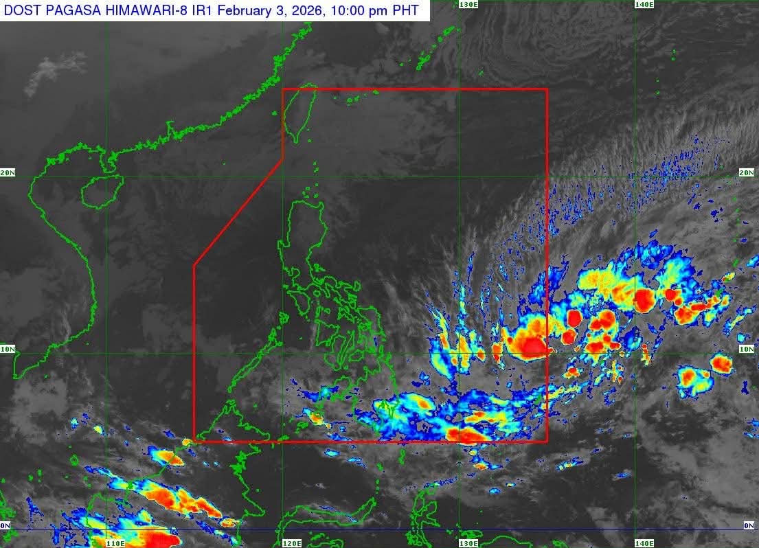
Tropical Depression Basyang was last reported at 10 p.m. Tuesday, located 965 kilometers east of northeastern Mindanao. The system packs maximum sustained winds of 55 kph, with gusts up to 70 kph, and is moving westward at 10 kph.
PAGASA warns that Basyang may strengthen into a tropical storm by Wednesday as it continues its westward path toward Mindanao. Wind Signal No. 1 may be raised over parts of Caraga as early as Wednesday, with Signal No. 2 as the highest wind warning expected during its passage.
Landfall is projected over eastern Mindanao or southern Eastern Visayas on Thursday evening, February 5, or early Friday, February 6. The system is expected to cross northeastern Mindanao and the Visayas through Saturday, February 7, and reach northern Palawan by Sunday, February 8.
While winds are not expected to reach extreme levels, Basyang will bring heavy rainfall across many parts of Visayas and Mindanao from Wednesday evening through the weekend. Authorities warn of widespread flooding and landslides in affected areas.
The public is urged to monitor official weather updates continuously and follow safety advisories, including evacuation orders issued by local government units, to protect life and property.